
Trace an Ogden Street Directory Address
An Ogden street directory search works best as a chain. Start with the physical address, use Weber County’s property record to identify the parcel and recorded owner, and then compare that result with sources that carry a date or a different kind of evidence. Ownership is not the same as occupancy. A tax-notice mailing address may point somewhere else, and a voter record can show a registration connection without proving that every member of a household lives there.
- Run the address through Weber County Parcel Search. If the full entry fails, try the house number alone.
- Open the Weber County GIS map, locate the same street segment, and note adjacent parcel numbers.
- Use Utah Voter Search for a known person’s status, rather than treating it as a street-wide roster.
- Take the current reference from the parcel card to the Recorder for deeds, legal descriptions, and prior parcels.
- For past households, compare the address with the Weber State Polk collection and its street-order material.
Weber Parcel Search Fields for an Ogden Street Directory
The county’s free Parcel Search has three entry paths. It accepts an owner, an address, or the parcel number, and none is marked as required. A last-name-only owner search is a deliberate choice because a record may sit under a trust, spouse, or other indexed form. A house number alone can rescue a failed address search. Complete addresses should use familiar USPS street-type forms such as AVE or ST.
| Parcel Number | Optional nine-digit Book/Page/Parcel value; a partial number can return a series. |
|---|---|
| Owner | Optional text; Weber recommends the last name alone. |
| Address | Optional text; house number alone is a fallback. |
| Result card | Owner, Property Address, Mailing Address, parcel, tax area, references, legal description, plats, and prior parcels when present. |
The card also routes questions by subject. Assessor handles value and greenbelt matters at 801-399-8572. Recorder and Surveyor handle ownership, address, tax-unit, and legal-description questions through 801-399-8441 and 801-399-8020. The Treasurer handles tax payment questions at 801-399-8454.
Map the Next Ogden Street Directory Parcel
The Weber County Geo-Gizmo is useful when a street search needs its neighbors. Pan and zoom to the address, click the target polygon, then move across the block one parcel at a time. Layer visibility and exact measure or buffer controls can change in the interactive viewer, so use the map as a locator and confirm the result in Parcel Search.
This distinction matters. Weber says tax parcel lines are visual representations of tax maps based on recorded legal descriptions. They are not a professional survey of the ground. Survey monuments may be shown as record or referenced positions, and a recorded surveyed description is what changes the tax map. A map can suggest which parcel is next door; it cannot settle a boundary dispute.
After the map identifies a parcel, copy its number into the county search. This two-screen check is more reliable than reading an unlabeled polygon as a person record.
Ogden Street Directory Property or Mailing Address?
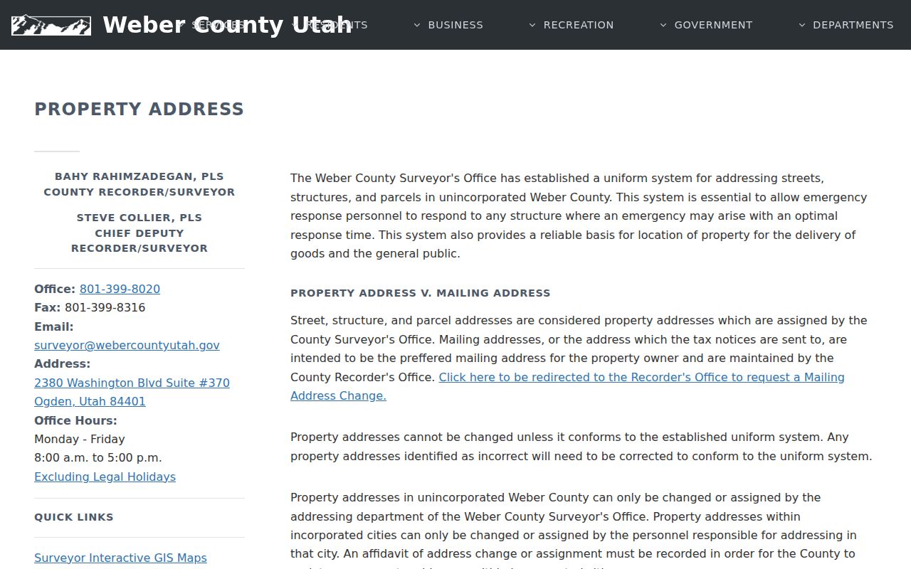
Weber’s property-address rules separate the situs address from the mailing address. Situs means the physical location of the land or structure. The mailing address is where tax notices go. An owner can have a different mailing address, and that difference may reflect a trust, an estate, an administrative office, or simply another place to receive mail.
- Parcel
- A county tax and land-record unit identified by a nine-digit Book/Page/Parcel number.
- Situs address
- The physical address assigned to the property.
- Plat
- A recorded map that lays out lots, blocks, streets, or a subdivision.
- Criss-cross directory
- A street-order directory that lets an address lead back to a name.
Incorporated cities assign their own property addresses. The Weber County Surveyor’s addressing department handles unincorporated property, while USPS controls postal delivery. A city address change may require an affidavit recorded so county property data can be updated. Vacant lots generally do not receive an address until a building permit exists. For questions, the research lists addressing@webercountyutah.gov and 801-399-8449.
Deeds Along an Ogden Street Directory Street
A deed chain starts with the current parcel card, not with a street name alone. Record the parcel number, lot or block, subdivision, current reference, and legal description. Then use the Recorder’s document-order path or Abstract Title Search to examine the instrument. A grantor is the person or entity giving an interest; a grantee receives it. Search the earlier grantee as a later grantor, matching the same legal description and parcel history.
The Recorder can locate records and provide copies, but it does not conduct a public title search, interpret documents, or give legal advice over the phone. A complete chain is the researcher’s task or a title company’s service. The current reference may expose an entry number, book and page, date, instrument type, and prior-parcel links before the older deed is found.
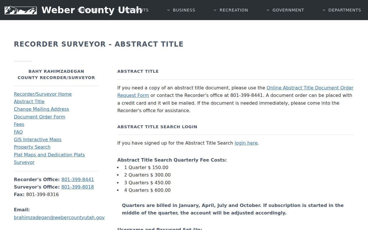
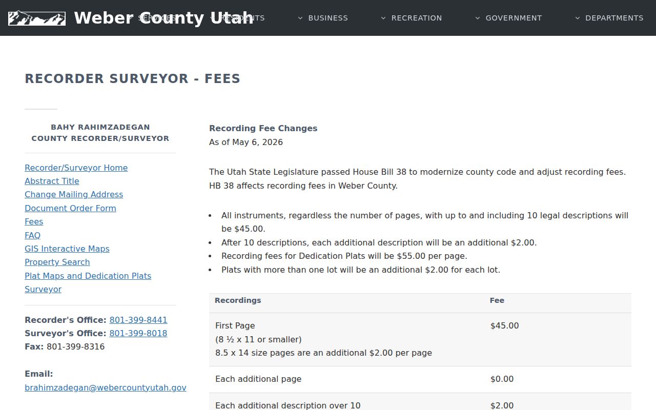
Copies are listed at $1 per sheet. The online Abstract subscription is $150 per quarter, and the county says account setup can occur within an hour during office hours. Exact first-year coverage for the online grantor-grantee index was not stated, so the older endpoint should be verified with the Recorder.
Old Plats for an Ogden Street Directory
Some Ogden address puzzles are historical, not technical. The city’s 1890s modernization under Fred Kiesel included street renaming and numbering, and 25th Street was paved in 1893. An older directory may name an ordinal street, a corner, or the two cross streets rather than use a number that survives today.
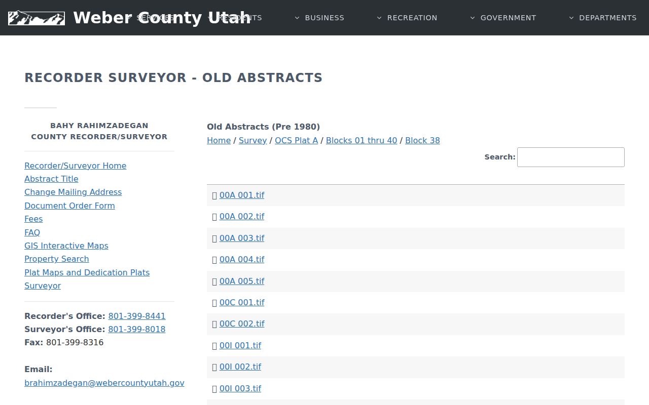
Use the Weber Old Abstracts browse tree by plat, subdivision, and block. The page labels that material Pre 1980 and presents TIFF folders. Historic tax-plat PDFs show sample book and page years from the 1970s through 2024, with gaps. These sources help translate an old street description into a current lot, but they do not turn a map into proof of occupancy.
Write the old wording down before modernizing it. “Bet.” means between streets, and “cor.” means corner. Those short marks can be the key to matching an 1883 entry with a modern parcel.
Ogden Street Directory Records That Follow an Address
These records meet at the parcel, but they do not answer the same question. The Parcel Search joins Assessor, Recorder, and Treasurer data. The GIS viewer supplies map context. A deed names parties and describes land. Election data is tied to registration and privacy rules. Building and code records can mark physical change or a complaint path, but an online permit index for every Ogden address was not located in the research.
| Record Set | Keeper | What It Shows | Access |
|---|---|---|---|
| Parcel Search | Weber Assessor/Recorder/Treasurer | Owner, situs and mailing address, parcel, legal description, tax data | Free online |
| GIS / Geo-Gizmo | Weber GIS and Surveyor | Parcel shapes, map context, survey layers | Free viewer |
| Recorded deeds | Weber County Recorder | Grantor, grantee, date, instrument, legal description | Index, copies, office |
| Voter information | Weber Elections / Utah | Registration, precinct, district, party, vote history | Lookup or request |
| Permits and code cases | Ogden City | Construction or concern trail by address | City request / GRAMA |
The nine-digit parcel number is the useful handoff. It links the current card to a legal description and current recording reference, while the address links that parcel to a map, city request, or person-specific search. A street directory built from these sources should keep a date beside each result. That simple note prevents a 1950 directory entry, a 2026 tax record, and a voter status check from being read as one snapshot.
Ogden Street Directory Permits and Street Cases
Address research can continue through city records when a parcel card leaves a physical question open. Ogden Building Inspections handles new construction, remodels, interior and commercial improvements, inspections, and related permit questions. The city’s material also notes work that may need land-use compliance even without a building permit, including driveways, accessory parking, fences, and small detached accessory buildings.
The office is at 2549 Washington Boulevard, Suite 240, with permits and inspections at 801-629-8950 and planning contacts at 801-629-8930, 801-629-8920, and 801-629-8922. An address-by-address public permit index was not located, so request a particular permit history from the city or through GRAMA. Code Services, at Suite 110, handles neighborhood concerns and citation routes at 801-629-8953.
Permit dates can mark a change to a building, while a code case can show a concern or citation. Neither source is a household roster. Treat both as address evidence and ask the custodian for the existing record series you need.
Ogden Street Directory Voter Data on a Street
Utah Voter Search takes a first name, last name, date of birth, street address, city, and ZIP. It is meant for a person checking registration and polling information. It does not expose a ZIP-wide or street-wide browse mode. A broader Weber voter-file request uses a form, geographic choices such as an Ogden School Board district or municipality, party scope, and a use certification.
The county form says standard data can include voter name and ID, address, registration date, precinct, districts, political party, age, and vote history. It lists email delivery, a 24-hour processing statement, fees calculated under Utah Code §63G-2-203(10), and elections contacts at scornell@webercountyutah.gov and 801-399-8034. At-risk or private voters are withheld. Vote history records participation or method, not ballot choices.
Use the status form for one known person. Use the county request only for a defined geographic or election-record purpose, and keep the returned address data within the form’s legal limits.
Street Names and Ogden Numbering
An Ogden street lookup can fail even when the parcel is easy to see today. Older directory entries may use cross streets, a corner marker, or a street name that later changed. The 1883 directory sample uses “bet.” for between and “cor.” for corner, while the city’s later street grid and numbering conventions are easier to match through a current map. Preserve the printed wording before translating it into a modern address.
Start with the nearest named cross streets and the directory’s street guide. Compare that clue with Ogden City GIS, the county parcel shape, historic plats, and Sanborn map context. A railroad, canal, industrial site, school, or ward boundary can be a useful landmark when a numbered address is missing. Do not force a historical entry into a current ZIP or assume that a postal city is the same as a municipal boundary.
When a street was renumbered or extended, test more than one neighboring parcel. A modern house number can represent a different lot from the number printed in an older source. The strongest match combines the old street phrase, the block or legal description, an occupation or household clue, and a second record dated near the directory entry.
Limits of an Ogden Street Directory
A public street directory cannot supply a complete occupant list. Weber property records show indexed owners and tax addresses, not renters or every household member. Utah voter information can be private or withheld, and a status lookup is built for an individual voter rather than open browsing by block. DMV address data is restricted by the federal Driver’s Privacy Protection Act. Utility customer names and delivery records are not public sources.
Lawful use. Ogden address records can support family history, property questions, and ordinary civic research. Utah’s stalking law, Utah Code §76-5-106.5, makes repeated monitoring, unwanted contact, or intimidation a serious legal concern.