
Ogden ZIP Codes and Their Reach
Official USPS scheme material associates the following destination groupings with Ogden routing. The areas are useful research labels, not municipal boundaries. Utah’s UGRC ZIP Code Areas page provides polygon data for spatial display and warns that ZIP shapes are approximations. Verify a live address before treating a ZIP as current.
| ZIP Code | Areas Covered | Post Office | Notes |
|---|---|---|---|
| 84401 | Central and downtown Ogden, 25th Street, Union Station area | Ogden 84401 | Postal group can diverge from city line |
| 84403 | South and east Ogden routing | Ogden 84403 | USPS material groups 84403 and 84415 |
| 84404 | North and west Ogden routing | Ogden 84404 | USPS material groups 84404, 84412, 84414 |
| 84405 | South Ogden and nearby south Weber | Ogden 84405 | USPS material groups 84405 and 84408 |
| 84402, 84407, 84408, 84409 | Secondary or PO-box destination groupings | Ogden routing | Verify address-specific use |
| 84412, 84414, 84415 | Secondary groupings tied to nearby destination offices | Ogden routing | Not a city-limit statement |
| 84201, 84244 | IRS or agency-style destination groupings | Ogden 84401 | Not normal residential ZIPs |
The research did not locate a current USPS result listing every ZIP inside Ogden’s municipal boundary. In particular, the secondary and agency-style codes should not be presented as ordinary residential areas. Postal city, destination office, and city government are separate labels.
Central Ogden ZIP Code 84401 Postal Ground
84401 is the central Ogden destination group associated with downtown, the 25th Street corridor, and Union Station. USPS scheme material also groups 84402, 84405, and 84409 under an Ogden destination structure. That grouping describes routing. It does not say that every address in those codes sits inside Ogden City, nor that every person receiving mail there lives at the mailing address.
For an address in this area, copy the exact street line, postal city, and ZIP into the USPS lookup. Then compare the municipal district map with the parcel’s property address. The county’s parcel result separates Property Address from Mailing Address, which is essential when a tax notice goes to a different place.
Ogden ZIP Codes 84403, 84404, and 84405
The researched USPS groupings place 84403 with south and east Ogden routing, 84404 with north and west routing, and 84405 with South Ogden and nearby south Weber. The same scheme associates 84415 with 84403, 84412 and 84414 with 84404, and 84408 with 84405. Those paired codes are routing relationships, not a clean neighborhood atlas.
That is why a postal directory should show the post-office grouping and the caveat together. A person’s ZIP can help narrow a known search, but a street, parcel, city field, and record date do the work of verification. Use the municipal map when the question is city representation, and Weber’s property system when it is land or ownership.
Ogden Secondary and Agency ZIP Codes
84402, 84407, 84408, 84409, 84412, 84414, and 84415 appear in the researched secondary groupings. 84201 and 84244 are described as IRS or agency-style Ogden destination codes rather than normal residential areas. Their presence in a data result should prompt address-level verification, not a claim that the person lives in an Ogden neighborhood.
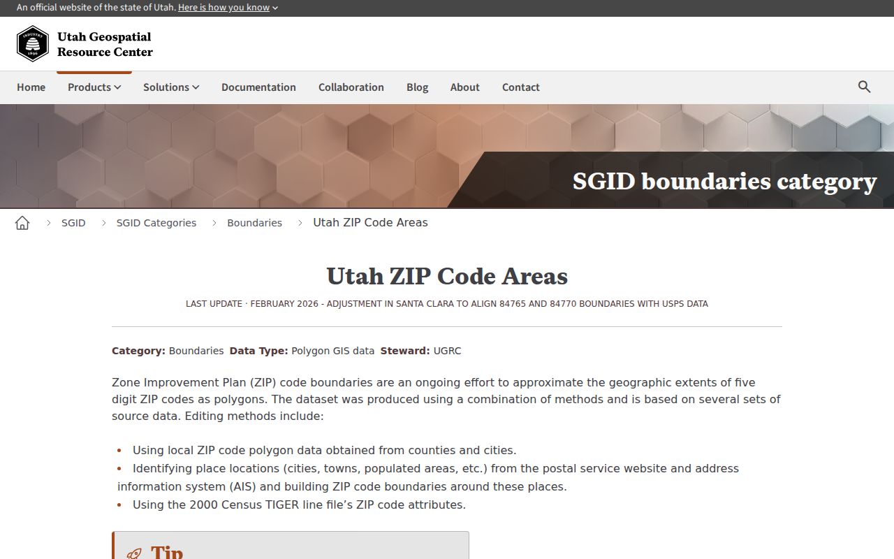
The USPS scheme pages inspected did not provide a current “all ZIPs inside Ogden” result. Treat the table as a research aid. For a live mailing address, use the USPS ZIP Code Lookup. For spatial analysis, use Utah UGRC ZIP Code Areas, remembering that its polygons approximate postal areas.
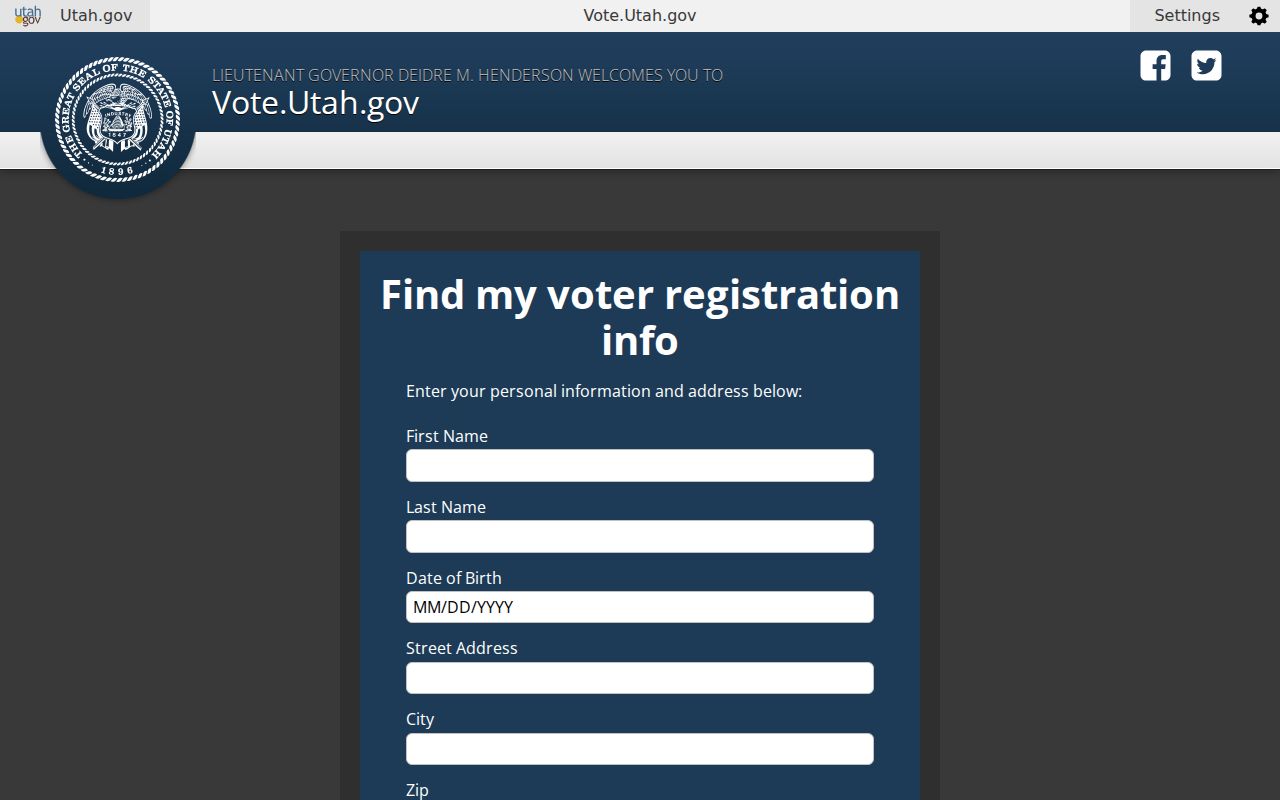
Utah Voter Search by Ogden ZIP Code
The voter form has a real ZIP field, but the tool is designed for an individual to find registration information and a polling location. It asks for first name, last name, date of birth, street address, city, and ZIP. The text-only inspection did not expose the exact result wording, and there is no researched ZIP-wide browse mode.
A broader Weber Elections request is different. The form can scope a municipality, school board district, state legislative district, party, or other area. Standard fields may include voter name and ID, address, registration date, precinct, districts, party, age, and vote history. Fees are calculated under Utah Code §63G-2-203(10), the county says the list is emailed as an Excel file, and private or at-risk voters are withheld.
Use ZIP to narrow a known name, not to infer every resident in the area.
Why Weber Parcel Search Skips the Ogden ZIP Code
The Weber Parcel Search offers Parcel Number, Owner, and Address modes. It does not offer a ZIP field. Results can display mailing ZIP along with owner name, Property Address, Mailing Address, parcel number, tax area, current reference, legal description, plats, prior parcels, and tax history. To gather parcels across a ZIP, use the GIS map or ask for an existing, defined record set through the county’s GRAMA process.
This limitation is useful. It keeps the property source tied to a parcel rather than turning a postal area into a list of people. Search a house number, confirm the city, and record the parcel before moving to the street-level workflow.
Historic Ogden Addresses Before ZIP Codes
Older Ogden city directories predate modern ZIP searching. Polk pages use names, occupations, house numbers, and cross-street wording. The 1883 style “bet.” and “cor.” can identify a place even when the current address is unknown. Pair the printed entry with city limits, historic plats, Sanborn maps, and a parcel search rather than forcing an old address into a current postal field.
That bridge is useful for previous residents and family history. It also explains why the ZIP code directory should hand historical work to the library collections. A postal label helps with today’s delivery route; a directory year can place a household before ZIPs were part of the address.
Before ZIP routing became part of ordinary address work, Ogden directories relied on street names, house numbers, cross streets, and postal delivery language. That older vocabulary can survive in a deed description or a newspaper notice even after a modern address is assigned. If a historical source has no ZIP, use the street and parcel trail to establish the place first, then treat a current ZIP as a separate present-day attribute.
Find an Ogden Record by ZIP Code
A ZIP code can narrow a known-person search, but none of the researched Ogden portals creates a complete public ZIP roster. Utah Voter Search accepts a name, date of birth, street, city, and ZIP. Weber Parcel Search has no ZIP input. Utah ZIP polygons can show geography, not a person. Keep the ZIP as one field in a larger match.
- Check the exact address through the USPS ZIP Code Lookup and keep the returned postal city separate from Ogden’s city field.
- Run the known name, date of birth, street, city, and ZIP through Utah Voter Search.
- Use Weber Parcel Search by address, owner, or nine-digit parcel number, then read the mailing ZIP on the result.
- For a defined voter geography, request Weber data through the county form and follow its use certification and fee process.
Once a ZIP narrows the search to a street, the Ogden street directory workflow can take over. It is the address and parcel layer, not a second ZIP search.
Use Ogden ZIP Code Polygons Carefully
The Utah UGRC ZIP Code Areas layer is useful for mapping and display, but its polygons represent postal geography rather than surveyed city limits. A polygon edge can generalize a delivery area, and a point near the edge may receive mail through a destination office outside the municipality. For a record request, use the complete address and the custodian’s jurisdiction instead of selecting a ZIP from the map alone.
For a known person, write down the source date and the exact five-digit ZIP returned by the official lookup. For a parcel, compare the property address and mailing address. For historical work, record the directory year and old street language before translating it. This keeps a postal clue from being mistaken for a census tract, precinct, neighborhood association, or resident boundary.
Ogden ZIP Code Lines Versus City Lines
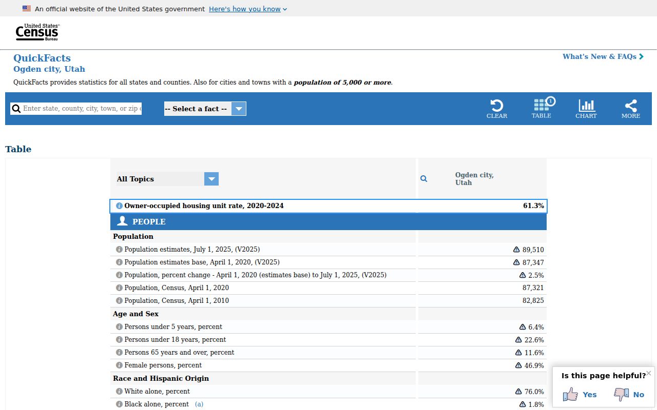
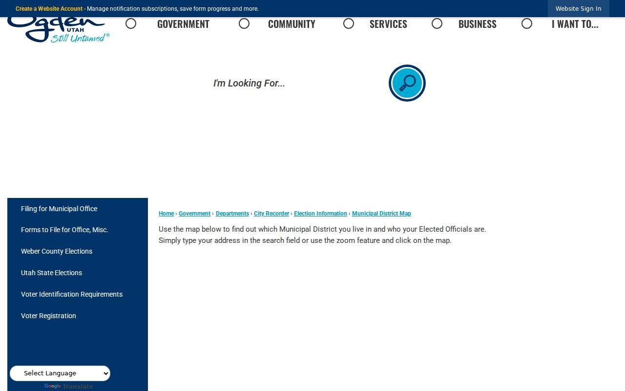
Ogden postal labels can reach South Ogden, Washington Terrace, Riverdale, West Haven, North Ogden, unincorporated Weber County, and other nearby places. An address inside the city can also carry a secondary or post-office code. Use the Ogden municipal district map and city or county GIS to test the government boundary, then use Weber records for the parcel. A ZIP alone cannot establish municipal residence.
- ZIP versus ZIP+4
- A five-digit routing area versus the extra four digits used for a more precise delivery segment.
- PO-box ZIP
- A code used mainly for post-office boxes or a secondary destination, not a city neighborhood.
- Unique ZIP
- A code assigned to one large institution or agency destination.
- Carrier route
- A delivery path within a postal area, not a resident or parcel boundary.