
Sources for Ogden’s Previous Residents
Different sources cover different parts of an address history. Deeds are strongest for ownership. City directories and reverse sections are stronger for household presence. Census schedules show relationships when released. Permits date physical work. Newspapers, probate, and the cemetery can explain a death or move. The date ranges below are the documented research trail, with gaps and access limits left visible.
| Source | Years It Covers | Where Held | What It Shows |
|---|---|---|---|
| Weber parcel and deed trail | Current; pre-1980 browse bridge | Recorder / Parcel Search | Owner, transfer reference, legal description |
| Polk city directories | 1870–1987 digital description | Weber State / Stewart Library | Names, addresses, occupations, household clues |
| FamilySearch directory reels | 1890–1928 groups | FamilySearch catalog | Microfilm pages, rights-dependent access |
| Federal census | Released through 1950 | Archives and research services | Relationships, age, birthplace, nearby households |
| Permits and code records | Current request route | Ogden City | Construction or address case evidence |
Start with today’s parcel for a current address. Start with the library for a named historical household. Use a deed when the question is title, and use a directory or census when it is who occupied a place.
Walk Back the Weber Deed Chain for Previous Residents
Use Weber County Parcel Search to get the indexed owner, nine-digit parcel number, current reference, prior parcel links, and full legal description. A grantor transfers an interest. A grantee receives it. To move backward, find the current owner’s deed, identify the seller, and search that seller as an earlier grantee. Match the legal description and parcel history at each step.
- Save the current owner, property and mailing addresses, parcel number, lot or block, and legal description.
- Use the current entry number, book and page, date, and instrument type to locate the transfer.
- Read the grantor and grantee, then search the seller as the earlier grantee.
- Repeat while matching the same land description, prior parcel, plat, or subdivision.
- When the online route ends, use Old Abstracts, historic tax plats, a document order, or the Recorder counter.
- Grantor / grantee
- The giving party and receiving party in a recorded transfer.
- Chain of title
- The linked sequence of recorded interests that traces ownership backward.
- Legal description
- The lot, block, plat, or metes-and-bounds land description that controls the deed, not the street label.
Weber’s Pre-1980 Abstracts for Previous Residents
The Weber Recorder’s current public tools have an unusual historical bridge. Old Abstracts are labeled Pre 1980 and can be browsed by plat, subdivision, block, and TIFF sequence. This is not the same as a person-name search. For a house history, the spatial folder can reveal the legal-description path when an older index is hard to search.
The exact transition from paper or abstract material to a searchable grantor-grantee index was not stated by the official pages. Do not invent a cutoff year. Record the folder name, plat, block, and image sequence, then ask the Recorder which series continues the chain. Copies, certificates, and document orders have separate fees.
Old Abstracts work best as a location-first bridge. Begin with the current parcel’s legal description, subdivision, block, and lot language, then look for the matching folder rather than browsing every image in sequence. A TIFF may show an abstract page, plat reference, or handwritten continuation that is difficult to interpret without the neighboring pages. Save the folder path and image sequence with the parcel number so the search can be repeated.
Historic Tax Plats for Previous Residents
Historic tax plats can show how a parcel or block was drawn at a known point in time. Weber’s public examples include book and page files from the 1970s through 2024, with gaps. Use one as a checkpoint between deed events: compare the lot, subdivision, parcel split, and street shape, then return to the deed or plat for the controlling legal text.
A tax map is not a survey. The Surveyor warns that parcel lines are visual representations based on recorded legal descriptions. That warning is helpful for previous residents research because a changed line can reflect a split, a corrected survey, or a mapping update rather than a new household. Pair the map with a recorded instrument.
Use the map as a dated checkpoint, not as the source of the title. Compare the block outline, alley, corner, lot width, and neighboring parcel shapes with the deed description. If the map and deed disagree, preserve both observations and ask the Recorder or Surveyor which recorded document controls. A later subdivision can make one old lot appear as several modern parcel numbers.
Match Old Streets in an Ogden Previous Residents Search
Ogden’s 1883 directories used “bet.” for between and “cor.” for corner. Fred Kiesel-era street modernization in the 1890s brought renaming and numbering changes, and 25th Street was paved in 1893. A previous residents search can fail if an old cross-street phrase is treated like a current house number.
Begin with the directory’s street guide. Compare the cross streets with Ogden GIS, historic plats, Sanborn maps, and the current parcel card. The Library of Congress Ogden Sanborn item includes 102 images and notes 1906–1949 coverage. It shows building footprints, materials, uses, alleys, and street context, but not every occupant.
Ogden Previous Residents From Newspaper to Cemetery
For a past household, the newspaper can explain what a deed cannot. Weber County Library holds Standard-Examiner predecessor microfilm from 1870 to present, digitized Ogden issues from November 10, 1881 through December 31, 1977 for in-library use, and 2005-present articles and obituaries through Utah Newsearch. Utah Digital Newspapers includes 24 Weber County papers, with gaps.
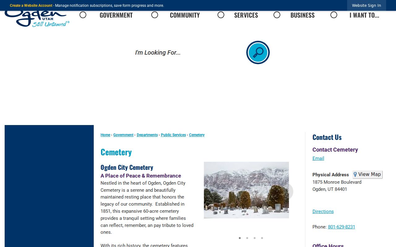
Ogden City Cemetery was established in 1851 and the city describes its interment register as complete, with an interactive map and Pioneer and military sections. A name from an obituary can therefore lead to a plot, then to probate or a deed transfer. Cemetery staff are listed at 801-629-8231. A burial location is not proof that the person occupied the address being researched.
Newspaper wording also needs a date check. An obituary may name relatives, a former town, a business, or a funeral location without identifying the house being studied. Search the surname with the street, employer, spouse, or neighborhood clue, then compare the notice with the next directory and the cemetery register. If several people share a name, an age, middle initial, or named relative can be more useful than the name alone.
The cemetery’s interactive map is a destination for a historical trail, not a public list of current residents. Treat a plot, memorial, or obituary as evidence about a life event. A deed or probate file may then establish how an address changed hands. Keep the event date, publication date, and record custodian separate in the research log.
Permits in an Ogden Previous Residents Trail
Ogden Building Inspections is an address-based evidence source when the house itself changed. The department handles new construction, remodels, interior and commercial improvements, and inspections. Public pages explain permit and land-use questions, but an online address-by-address permit index was not located. Request a specific permit history from 2549 Washington Boulevard, Suite 240, or use a targeted GRAMA request.
Planning and permit contacts listed in the research include 801-629-8950 for permits and inspections and 801-629-8930, 801-629-8920, and 801-629-8922 for planning. Building changes can anchor a year in the address story, while the deed and directory establish people. Keep those sources separate.
A permit date can explain why an address looks different in two photographs or maps, but it cannot identify everyone who used the building. Ask for the existing permit number, project description, inspection date, or address range that the city can search. A narrowly described request is easier for the custodian to evaluate than a request for every record connected to a person or street.
Past Households and Ogden Previous Residents
Owners are only half the story. Polk directories can place a household at an address, give an occupation, and sometimes note a spouse, death, or forwarding address. Pair the relevant volume with census years 1900, 1910, 1920, 1930, 1940, and 1950 when the geography fits. The full collection map belongs with the Ogden city directory material.
When a name leaves the directory, check the next available volume, newspapers, the cemetery register, probate, marriage or death records, and the deed trail. It may have moved, died, gone unlisted, or fallen into a publication gap. A previous residents record is strongest when two independent sources agree.
For each year, capture the exact spelling, page, street form, occupation, and household notation. Do not convert “widow,” a forwarding note, or an abbreviated occupation into a conclusion that the source does not make. A directory is an annual publication with editorial choices and omissions. Its value comes from comparison across years and with a separate record.
When a house has a long trail, divide the work into eras: the printed directory years, the census releases, the deed sequence, the physical-change record, and the later ownership record. That structure makes gaps visible. It also prevents a current parcel owner from being casually attached to a household that appeared at the same location decades earlier.
Lawful use. Previous residents research is appropriate for house history, family history, and personal curiosity. Do not use a record trail to track, harass, or intimidate a living person; Utah Code §76-5-106.5 addresses repeated monitoring and unwanted contact.